Home » Adventures » Alaska » Yukon River Paddle » Logistics
Disclaimer: These were my experiences in the summer of 2016. Services and conditions change frequently and are probably different by now. Always double check the current situation before leaving.
Paddling the entire Yukon River had been on the back of my mind for a while, but a potential expedition made me more nervous than most of my other trips. The lack of concrete information and the feeling of utter remoteness that Alaska exudes for someone from the Lower 48 was a bit overwhelming. I am sharing what I experienced and discovered in an aide to others that may follow.
The best source for planning I found was Paddling the Yukon River by Dan Maclean. Although some of the information is a bit dated (mostly notably, communication from the Bush is much better than the book was written), it collected almost all the required Yukon-specific needs for a river trip in one place. The most valuable sections were how to get there, get back from the end, towns along the river, and river conditions. It did not answer every question, but gave me enough confidence to shove off. The book also does not hold your hand on how to do a long distance paddling trip. If you are contemplating floating the Yukon River, you should already have your ducks in a row on how to successfully undertake a wilderness trip with a human powered boat. Remote Alaska can be very unforgiving and is not the place to learn.
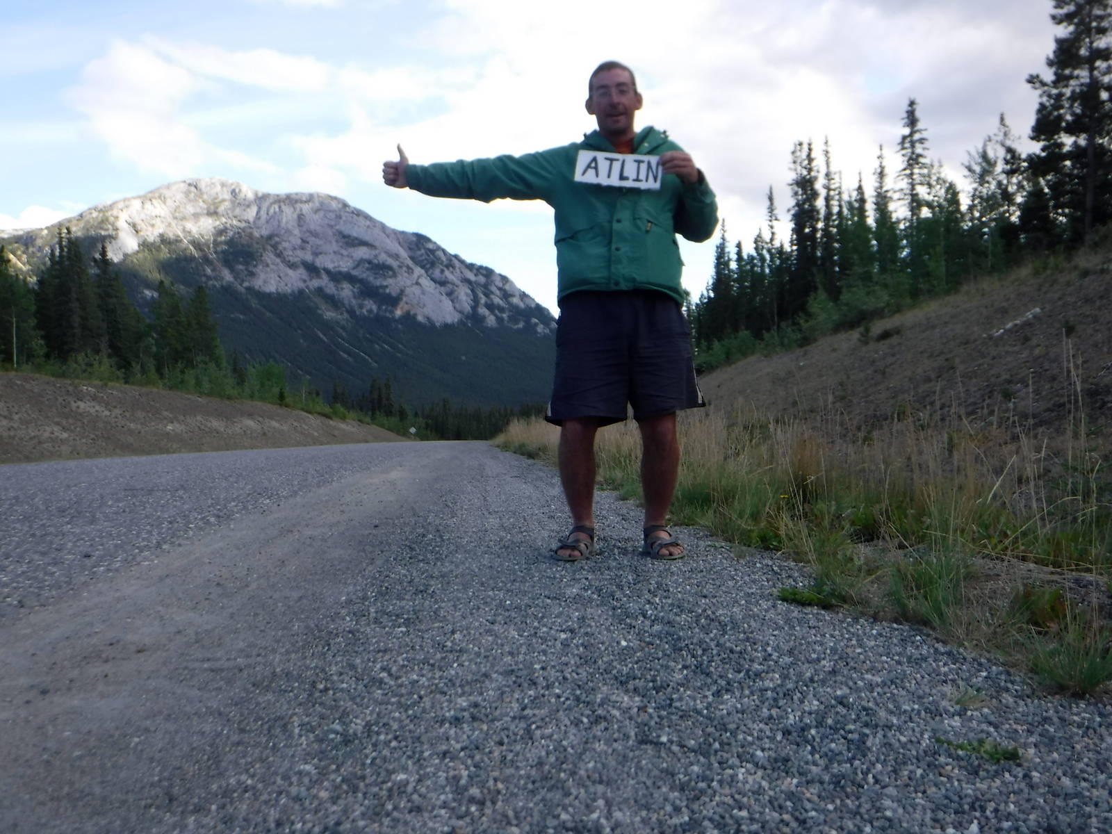
One of the most difficult parts of paddling the Yukon River is simply getting there, which is a long and expensive trip for most people. I was already spending the summer in Alaska so at least I was in the general area with my car and kayak. I elected to start my trip from the Llewellyn Glacier so my put in was the small town of Atlin, B.C. Since it did not have a commercial storage company, I asked around and eventually found someone willing to store my car on their property for the duration of my trip. Although a difficulty with starting in Atlin is getting back afterwards.
Most people however, start the Yukon River in Whitehorse, YT since it sits on the river and is the largest city in the region. If you fly into Whitehorse though, you still need a boat. Shipping a kayak is near impossible unless it is a foldable one. I have never used that type of kayak so I cannot comment on whether one could be appropriate for the Yukon. Some people buy a used canoe from an outfitter in Whitehorse and try to sell it and the end in Emmonak. The author of the book says selling a boat afterwards can be challenging, but at least one person I met that year was successful in doing so. You could also fly the boat to Anchorage for cheap and peddle it there.
If you drive to the headwaters of the Yukon though, finding a place to leave your car at the end in Anchorage rather than Whitehorse could potentially save some money. Since most people know in advance when their trip starts, you could buy an Anchorage to Whitehorse ticket in advance, which should be cheaper than buying one last minute after your trip. Of course the drive from Whitehorse to Anchorage is a long one, so depending on where you are coming from and your plans after the Yukon River, all that extra driving may not be worth it.
If you do start in Whitehorse instead of further up though, you miss the most beautiful part of the Yukon River—Atlin Lake and the surrounding mountains. Be forewarned that those lakes are probably the most dangerous part of a trip too—frigidly cold, large bodies of water where squalls can form quickly.
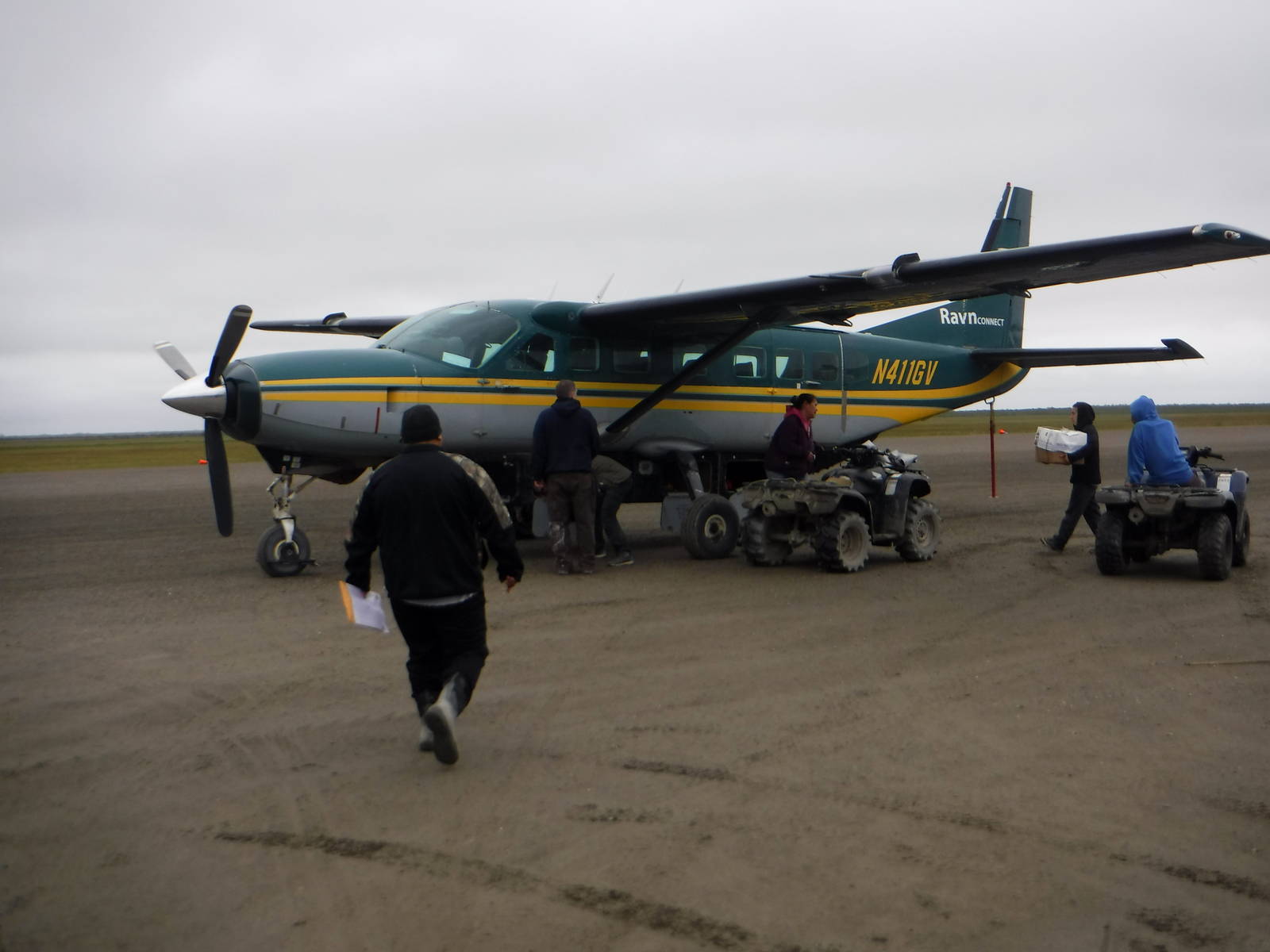
Emmonak is the usual place to end a Yukon River trip, since it lies only a few miles from the Bering Sea and has air service that can transport a canoe or kayak. I was nervous about shipping my kayak back from Emmonak despite assurances in my book. My fears were unfounded though as flying my boat cargo was both easy and cheap (much cheaper than my passenger flight back). Emmonak has a large fishing operation so there are regular cargo flights that are used to handling large, odd shaped objects. Even better, most items are inbound so return cargo is ridiculously cheap. That flight only gets your boat as far as Anchorage though and you must move it on from there. I picked it up with my car myself, after transiting from Emmonak to Atlin (see next paragraph) and driving back to Anchorage.
Extracting myself from the Bush ended up being more complicated and expensive than my kayak. My roundabout route may not be best for everyone, but was scenic and worked well with my plans after the Yukon.
Below are some of my experiences and lessons learned specific to the Yukon River, which may or may not be helpful to others.
While I was not overly concerned with bears, I did take precautions to lessen the likelihood of an adverse encounter (or at least make me feel better). The best line of defense is prevention, and for that I normally camped on one of the river’s numerous small islands. While bears can certainly swim, I thought it less likely they would visit a small chunk of land that usually has no food. And if for some reason a bear did pay a call, I followed the standard bear country practice of sleeping away from my smellables.
Unfortunately my boat could not fit bear proof containers, and reliably finding trees to hang a week or two worth of food was a losing proposition. So I usually just took the food out of my kayak and left it sealed in dry bags nearby. My thinking was that if my food was inside the hatches and a bear wandered into camp, it would not hesitate to tear my boat apart to get at the scents inside. So with the food outside the intruder would still steal my picnic basket, but at least my boat would probably be in one piece to carry me downriver to the next village. This setup did leave my supplies more vulnerable to small animals but none ever harassed me.
And finally, I carried bear spray in my deck bag and onshore. I do not promise any of my practices are actually sound advice, but they made sense to me.
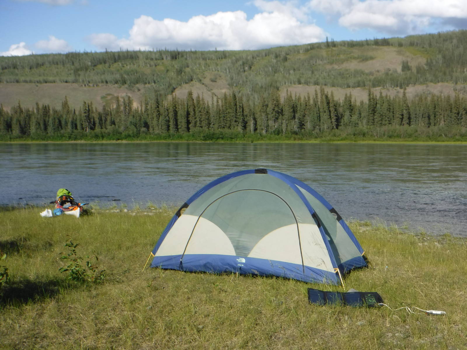
Although I had done a lot of long distance hiking, I only had moderate experience camping from a boat. My general philosophy was to mostly pack the same supplies I took backpacking, paddling specific items, and a few luxurious since weight is not much of an issue. Some of the notable items I carried:
The one thing I wish I brought in retrospect was a tarp to go over my tent. Drying damp gear is very difficult when it is stowed in hatches all day. A tarp could have allowed me to keep most of my other gear dry while also giving me some extra space in camp.
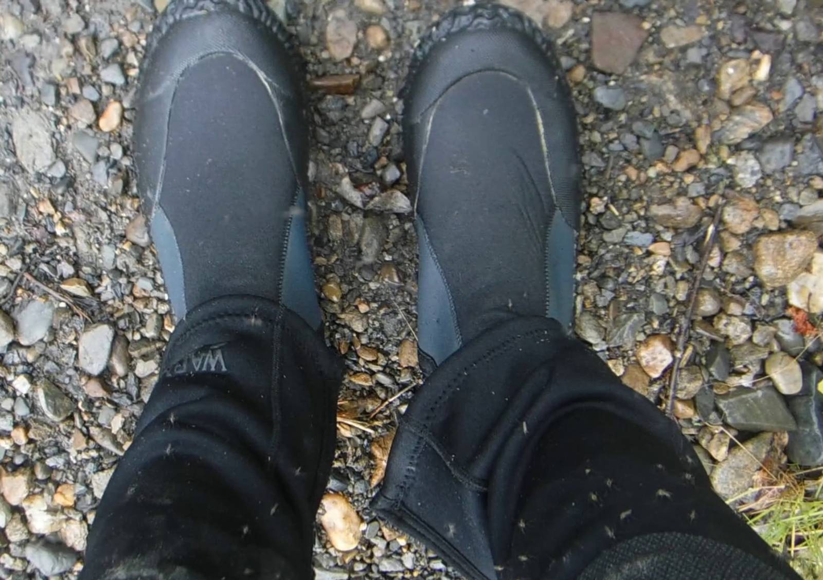
Bugs ranged from nonexistent to the worst swarms I had ever encountered. Paddling down the middle of the river would usually keep insects away, but black flies still occasionally found me. Their bites hurt, but at least they were easy to kill with their slow reaction times. Staying on islands at night (which also made me feel better about bears, see above) seemed to keep the number of bugs down around camp. A few times I went ashore on the river banks where countless mosquitoes assaulted me. I was often thankful the neoprene that kept me warm was thick enough to also keep the bugs from biting. I also kept my head net and DEET in my deck bag for quick access.
On one hand the Yukon River is very remote, but on the other hand all the settlements in the region lie along the river, which is also the highway between villages and fish camps. I saw a power boat almost every day, although some side channels in braided sections of the river would see almost no traffic. I do not know if VHF radios are used much on the Yukon, but a handheld one for a kayak would not have much range anyway. If you managed to flag someone down but needed serious help though, that could still be a long ways off.
I did not spend much time in villages, but all the people I met were very friendly and generous. Despite luxuries in the Bush being scarce, they would give the shirt off their back to someone in need, even though someone who has the privilege of taking a summer to paddle the Yukon probably has more money than most villagers. One of my fondest memories was getting invited to have dinner and spend the night at a Native Alaskans’ fish camp and listen to the stories of people who call that place home.
Drinking water may not seem like something to worry about on a river in the middle of the wilderness, but it needs to be kept in mind. After the White River merges with the Yukon fairly early on the water becomes extremely silty. The sediment rubbing against my haul was audible for a couple of days. While the silt might not make you sick, it would not taste very good either and drinking large quantities could maybe cause issues. I let a jug of water settle overnight, but it was still completely clouded in the morning. To get freshwater I usually collected from sandbar pools, tributaries, or a tap in town. Since my kayak could stow over a gallon of water I only had to find a water source every day or two. Oftentimes I did not bother to treat my water, but used a SteriPEN or chemical tablet when I felt the need. Even in remote Alaska wild animals can spread waterborne pathogens though, so I cannot officially recommend “dipping and sipping”.
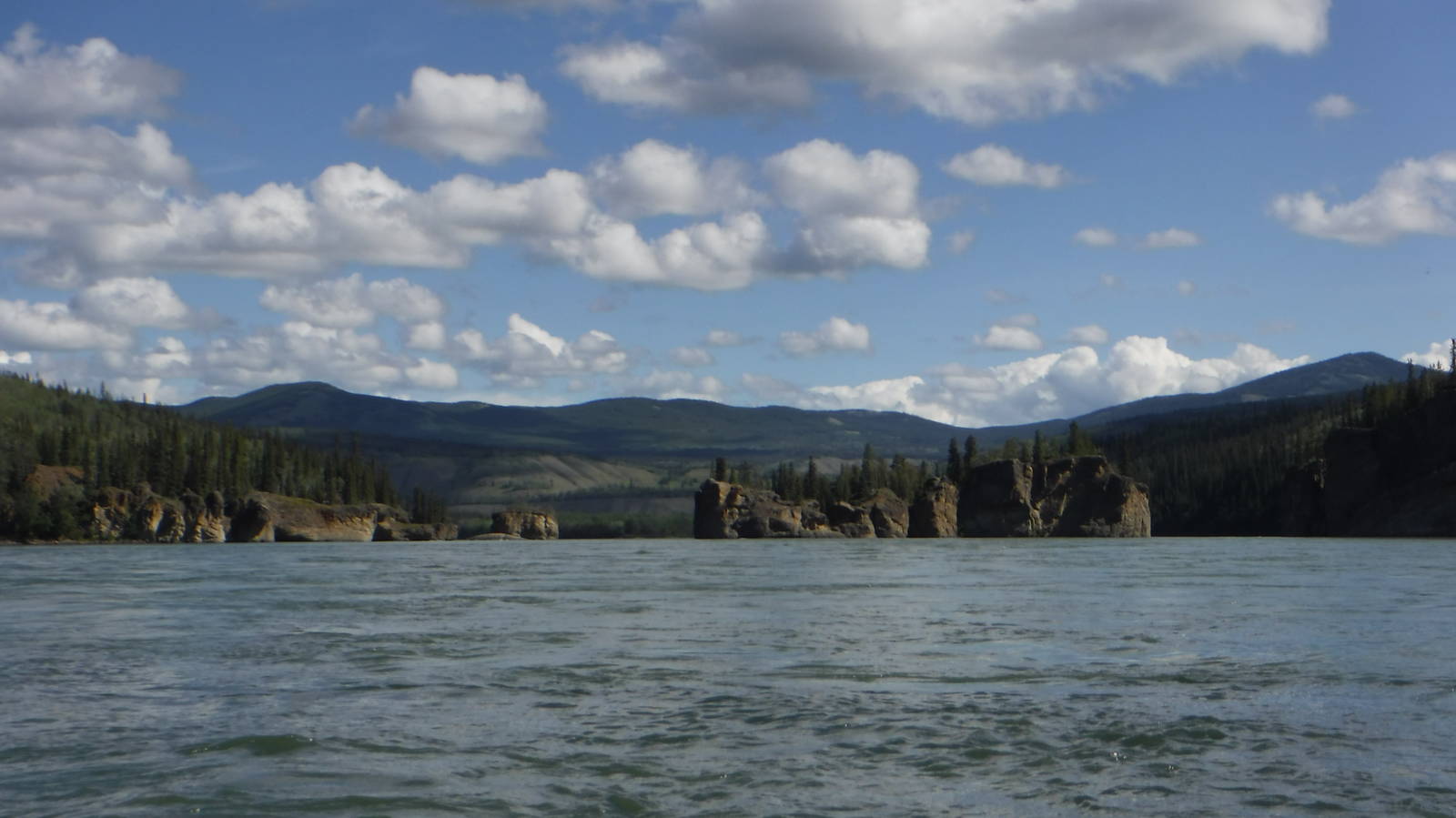
The Yukon River is not a technically challenging river. It only has one rapid its entire length (Five Fingers) and the passage river right is runnable at any water level. In fact I encountered larger rapids caused by wind (see below) than there. The river does have a strong current at the beginning though. In sections it was too strong to paddle upstream—plan where to land in advance. One afternoon I covered thirty miles while barely paddling. By the end though, the river becomes wide and slow.
Wind could pose an unexpected challenge, especially on the second half of the river. Oftentimes the breeze picked up in the afternoon to the point where kayaking was barely worth it. I would be paddling hard with the current and still barely making any progress. With a long fetch, several foot standing waves would build up that demanded my attention. Even when the river curved it seemed there was always a headwind. Sometimes I threw in the towel and waited out the weather onshore. I was not in a hurry, and anyway, with nearly twenty-four hours of sunlight, I could make miles at midnight when the wind settled down if I wanted to.
I am a believer in always having paper maps and printed my own topographic maps downloaded from the government. Finding the correct ones to cover the entire Yukon River does take a bit of sleuthing. There may be better places to get custom maps that center better on the Yukon River, rather than where USGS happened to split maps.
Although I always carry physical maps, technology is also (sometimes) very helpful. I loaded offline topo and street maps to my phone, since I had no service along the entire river (although limited cell service may be available near towns if you have the right SIM card).
The Yukon is remote but is also the main transportation corridor in the region. Towns and many small villages along the river afford some options for resupply. Fresh food may be limited but enough packaged and canned options can sustain paddlers or add variety to their menu. My resupply strategy involved a mix of buying food and mailing supplies. I could only stow about two weeks worth of food in my kayak, but I met a couple in a canoe that carried all the food for their entire trip from the start.
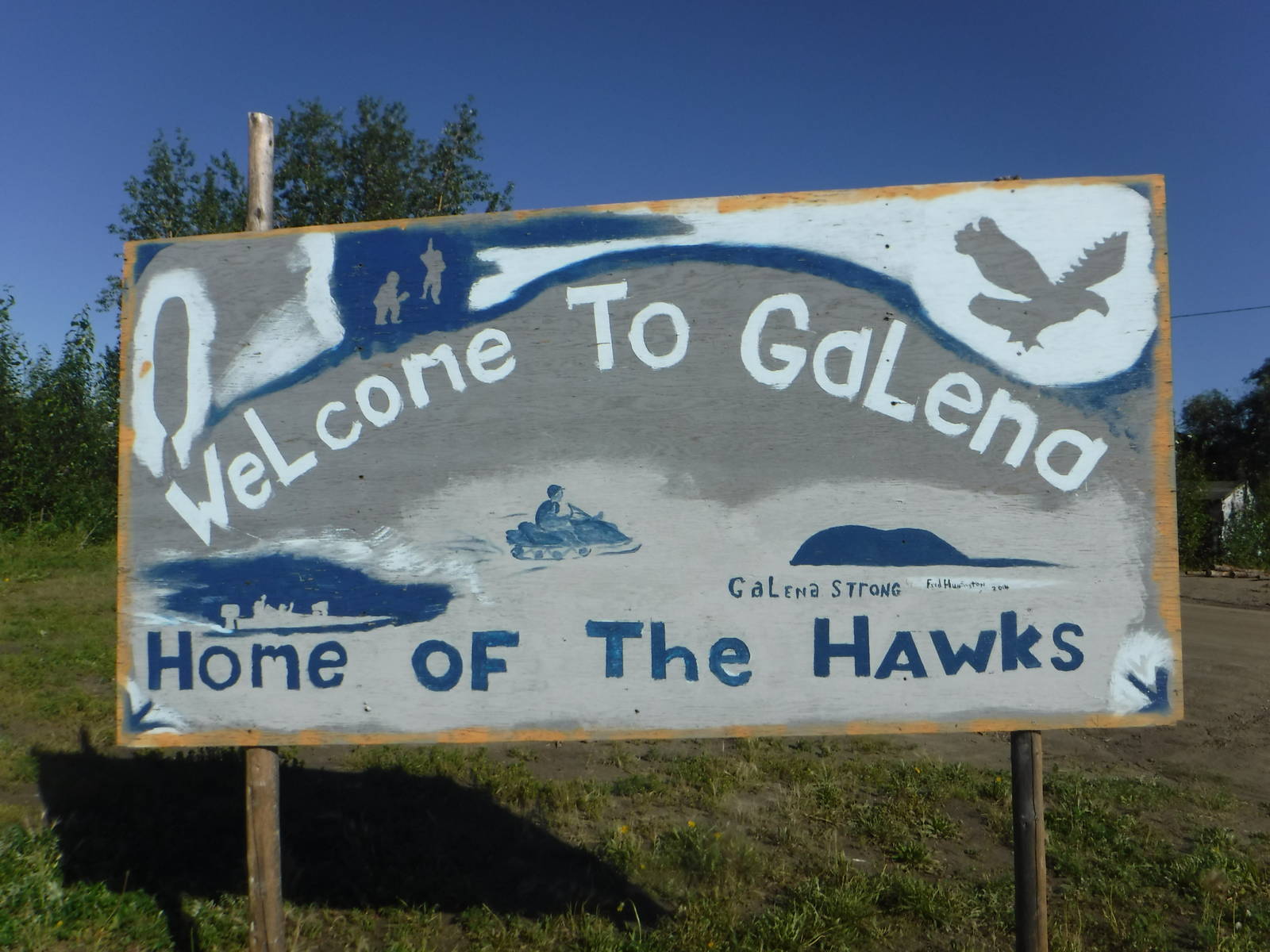
I bought food in Whitehorse (before starting my trip in Atlin), Dawson, Fort Yukon, Galena, and Nulato. The first three had full grocery stores, while the latter two I only supplemented my palette with snacks. I also sent a box of food to Galena, although that was not strictly necessary. Even with postage (flat rate boxes cost the same to the Bush as they do anywhere else) mailing food to yourself via General Delivery is probably cheaper than buying it along the river. Those towns were decently supplied (better than many trail towns I have visited) but are expensive since everything is delivered by an airplane. Expect prices twice those in the Lower 48 or even other parts of Alaska. The author of the guidebook is leery of mailing packages, but the one box I sent arrived on time, although a little worse for the wear. If you do use the mail be sure to allow plenty of time and have backup plans in case the package is lost or late.
Technology has made its way into the Bush, and communication is much easier than when the author wrote the guidebook. Many villages in Alaska may have cell service (not sure about data) if you have the right provider (possibly an Alaska specific one). Payphones were actually hard to find like most other places since cell phones are taking over there too. Slow WiFi may also be available, but I never searched for it as I did not want to impose and wanted to unplug anyway.
The following is not a town guide, just some observations from the villages I visited, especially if something was noticeably different than in my guidebook.